
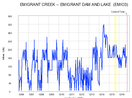
To put it simply, on my drive back home after this short trip I left my dear friend, Dan Thurber, a message that went something like this: “Hey Dan, just wanted to let you know about how I feel about Emigrant Creek. It’s pretty much the worst ****ing god-damn piece of ****, **** sucking pig of a ******’s bloody ******* run I’ve ever been on.”
Needless to say, I believe this was and will be the first and last raft descent of Emigrant Creek. Countless portages over logs and barbwire fences, coupled with low-hanging branches and a small dam, plus difficult put-in access due to private property, on top of the fact that there really is never enough water to get a raft down this thing… enough said.
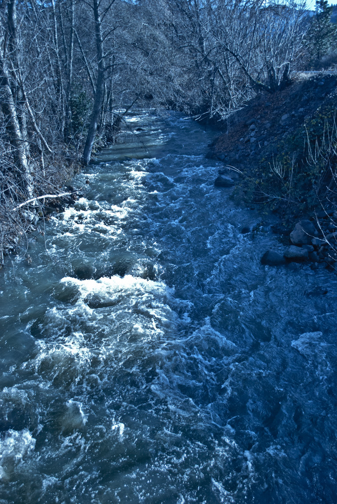
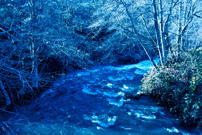

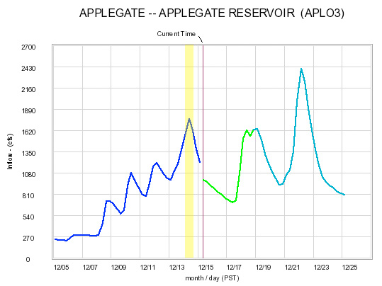
Carberry Creek is considered to have 1/3 of the total inflow for Applegate Reservoir (above). This flow was great for a 10′ raft being r2’d. I think you could go substantially higher and have an excellent time, but you’ve got to be on the lookout for wood. Unlike the Upper Applegate, which is the other main inflow into the reservoir, it is difficult to see the creek from the road.
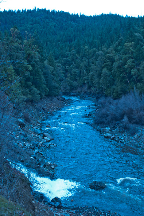
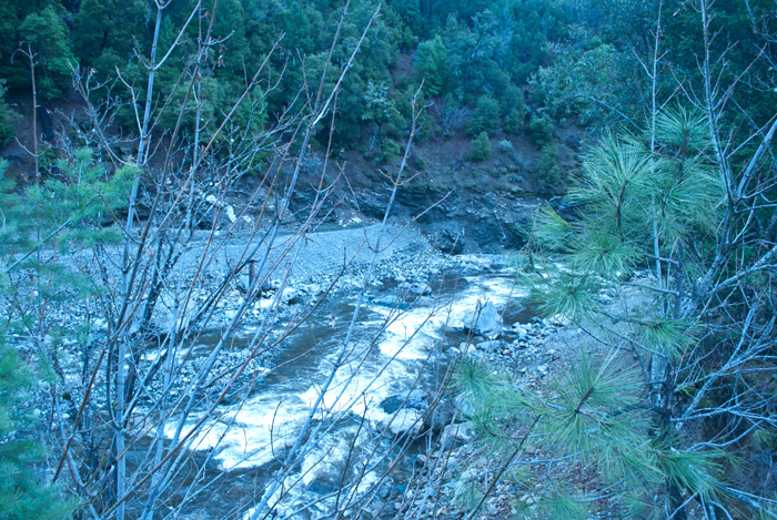
As you get close to the put-in the road drops down towards the creek and you can see the first and second larger rapids. It’s worthwhile to stop and check out both, as wood tends to collect here.
The character of this run is very different than UA too. It has about the same gradient but has a flatter stretch in the middle, which makes the rest of the run steeper. It is also a lower volume creek and offers more of a class IV technical run. Click here for a Google Earth map of the standard put-in and take-out for Carberry Creek.
Leland and I were r2ing and Nate and Josh were in kayaks for Carberry. After the run they dropped us off at the put-in for the Upper Applegate and we bombed down to top off a good day on the water.
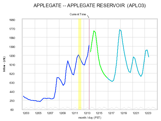
The Upper Applegate is the largest stream into Applegate Reservoir and represents roughly 2/3 of the total inflow (shown above). It is strictly a winter and spring run and bottoms out in the early summer or late spring. This has been the first week it’s run consistently this boating season, so we jumped at the chance to catch it.
We put in at the second bridge over the river. Just upstream is a significant drop into a nasty undercut that doesn’t look appealing. However, there are runs further upstream. Click here to download a Google Earth map that shows the standard put-in and take-out locations.
Depending on who you talk to, this stretch drops somewhere between 80 and 100 feet per mile. Just know that it is fairly continuous with no big drops, just mainly class III (at this flow anyway). It is definitely a fun and relaxing run. Nothing scary, but be on the lookout for wood. As you drive up to the put-in you can see most of the run, except for a few sections.
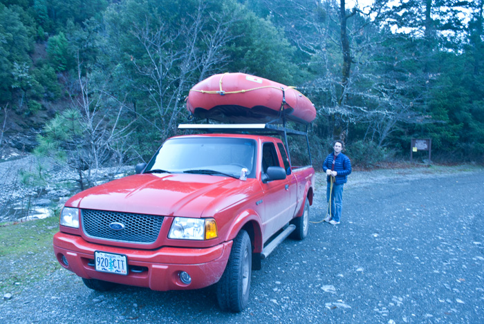
I would consider this flow to be mediumish for a raft. Zach Green from the SOU Outdoor Program and I were r2ing a 10′ Avon and there were five kayakers with us for the first run. On the second run, Marcelo, Zach, and I finished the entire run in under 20 minutes. It moves!
For the boatmen, for the thrills, but really just for the rivers


