Category Archives: Trip Reports

Trip Reports and Photos

Niagra Stretch of the North Santiam – October 19, 2008

Trip report written by Will Volpert. Flows were around 2700 CFS.

With no rain and low flows all around, I was about to give up hope on finding a new stretch of water nearby to explore. My friend Alan Jones sent an email about a trip on the North Santiam and I was intrigued. It sounded like mellow water but fun none-the-less. I’d run an upper stretch of the North Santiam with Ryan Morgan previously, so called him and asked him about the run. He mentioned something about a Niagra stretch just upstream and that we could even tie it into Alan’s run if we wanted. This sounded good; so the next morning I loaded up a boat, two paddles, a beautiful girlfriend and off we went.

We ran into Alan’s crew at the take-out as we were dropping off our shuttle rig. It was good to see Alan. I ran the Illinois with him last April and had a blast. He has great stories, is a tremendous boater, and is one of the kindest people I know. We chatted for a little bit and then headed off to our respective put-ins.

The put-in for the Niagra stretch wasn’t too bad for a raft. There was a winding trail down to the river but it was easier to just rope the boat down to the water. It’s an Avon, so you don’t have to be delicate with it like a Sotar 🙂 Just joking. I guess I’m an official Oregon boater now so may as well get used to seeing the plastic boats.

Anyway, roped the boat down and off we went! Pretty canyon, cold water, and mainly class II greeted us for the first stretch of the Niagra Run. Then we hit a rapid dubbed “The Narrows”. Ryan ran it cleanly but in the raft we decided to portage the first drop. It certainly looked doable but not optimal; and with an easy portage the decision was easy. I hate to portage but when it is easy and you’re not up for game, it’s the way to go. We paddled out the second drop and through the cool canyon just below.

Next up was Niagra, which is well-known for the narrow exit at the bottom. We had fun bouncing down the start of the rapid (not difficult at this flow) and eddied out on the left just before the exit. Watched Ryan go through and then pushed off. Pretty slow and easy so no problems there.

The last obstacle of the Niagra stretch is the dam. The reversal is heinous looking. We portaged on the right, next to the signs that say “NO TRESPASSING.” Oh well.

We then ran the stretch below Niagra which is maybe seven or eight miles in length. It was nice to be on the water. Mellow. There are maybe one, two, or three class II+ or III rapids. But, with great company that is ok. This day on the water made me realize how great it is to have friends like Ryan Morgan, Alan Jones, and my girlfriend Dana. My best boating friends seem to always expand my river horizon lines and for that there is much appreciation. To more river days and great friends!

dam

the_narrows

Sandy River Gorge – September 18, 2008

The Sandy River Gorge is beautiful. Skip and I were looking for something new for both of us and the Sandy fit the bill. Chip was kind enough to let us borrow his 8′ Mini-Me and it was the perfect boat for this run.

The flow was somewhere between 500 and 600 CFS which was low but definitely not the bottom end for rafts. Got hung up in two places, once in the first half mile at some gravel bar and then again right above the take-out in the middle of Revenue Bridge Rapids. Other than that, this was a perfectly reasonable run for small rafts.

We put-in at the end of the PGE Private Road. Access was not too bad. We took out at Revenue Bridge. Since neither of us had done this run before we didn’t realize the lack of traffic going up the road until we got there. This made hitching a ride pretty tough but eventually a local guy named Ron picked me up and took me all the way to the put-in. THANK YOU RON! Nice folks in this area.

Once on the water we were treated to lots of fun read-run whitewater. We stopped at a few places to take a peak and check for wood but in the Mini-Me stopping mid-rapid was a breeze. Saw two IKers out but that was it for people. One big steelehead so I guess the fishing is in.

Anyway, a fun run. Definitely looking forward to seeing the Sandy Gorge at higher water. Here are a few photos:

bg_sandy_river_gorge_1

bg_sandy_river_gorge_2

bg_sandy_river_gorge_3

bg_sandy_river_gorge_4

bg_sandy_river_gorge_5

mini-me-sandy-gorge

White Salmon – September 16, 2008

After a summer of guiding on the Middle Fork of the Salmon, Skip and I headed back to Oregon to find places to live and new rivers to see. The first run of the Fall for us was the White Salmon. I think this is sometimes referred to as the “Middle White Salmon” or perhaps the BZ Corner stretch? I’m not sure. The put-in is awesome though. You slide your boat down a crazy ramp maze. Our take-out location was just below Husum Falls on the left. There’s a small pullout with a bunch kayaking trucks normally parked there. Easy to find.

Aside from Skip and I, joining us was Aaron (had never rafted before and just wanted to get outside) and Zach from Echo River Trips. Zach was kayaking so the rest of us were R3ing an Avon Adventurer.

It was definitely a little boney for a 14′ raft but we made it through without getting stuck or scraping rocks too badly. The majority of the run is class II with maybe two or three class III rapids. Of course, Husum Falls is a cool looking rapid. It’s a class IV kinda-waterfall, maybe eight vertical feet. Very easy to put the boat in the right place but also easy to get launched out the back, which is exactly what happened.

raft_at_put_in_white_salmon

Sandy River Gorge – September 14, 2008

Trip Report written by Chip Carroll. Flow was approximately 500 CFS.

flow_9_14_08

On Friday Tomas Amodio and I hatched the idea to go see what the Sandy River Gorge would look like with a relatively barebones flow. I had rafted it at 900 cfs and felt like you could probably still get down with even less water. So with a couple of sandwiches, a small cooler, the Hyside Mini-Me, a throwbag and two paddles we set out to see what we would see. We fully expected to have to drag the boat down most of the run and mainly use it to float the long deep pools. But low and behold, the water stays pretty channelized and we ran everything but the first little rapid below Log Jam Rapid and Revenue Bridge Rapid. The weather was fantastic and while it is still technically summer, there was definitely an autumn-like quality to the day.

We lined the first riffle because we hadn’t gotten our low-low water boating groove on. But once we got to the bottom and saw that there was a line, we decided to be more adventurous at the next one. The next few unnamed rapids were just plain fun read and run, tight and narrow rock dodging/bouncing.

When we got to Boulder Rapid, we eddied out on the island in the middle of the rapid to scout. The left side has logs, which at this meager flow, were about 3-4 feet off the surface of the water. It would have been a very sporting run. We decided to run right. Pretty straight forward: Enter center left and down you go with a quick turn to the left through the slot. It mostly went as planned, but we smacked the rock that is the right side of the slot.

Rasp was a straight shot with a quasi-boof move at the bottom right. We had a sweet run through it, exactly as planned. The log that is in the middle had been cut but is still in rapid, albeit under the water. Fine for boating, bad if you were to be swimming.

Drain Hole was also pretty straightforward. We entered left, stayed left, then boogied right into the eddy in front of the large boulders that form the various sieves. There is a nice wave/pillow off the second large rock from the left that helps push you right into the eddy.

In the narrows we eddied at out at the spot where three large logs span with width of the inner gorge and had our sandwiches. It was a gloriously sunny warm day and we marveled at what a gem the Sandy Gorge is. How many US cities can boast having a sweet class III/IV free flowing (R.I.P. Marmot Dam) river within 45 minutes of the heart of downtown. We surely are the lucky ones.

After we’d left the gorge the river widens and splits around a large island. We opted to go right, but left might have been navigable. We ended up having to drag the boat 50 feet or so before we were in water deep enough to float. Not a problem, especially since that was the first real time we had to drag the boat.

The next pool lead into Revenue Bridge Rapid. It was completely blocked off at the top. We eddied out left, figured out where we were going to line the boat through and bing-bam-boom, the boat was at the bottom and we were too. We ran the bottom part of Revenue Bridge Rapid.

We rolled the boat, carried it up to the shuttle rig and away we went.

So now we know, approx. 450 cfs is enough to water for 2 large humans to R2 a Mini-Me (8′) through the Sandy Gorge.

A Colorado Whitewater Odyssey : Cache la Poudre, North Platte, Eagle, Arkansas, Taylor, Gunnison, + Idaho’s Selway and South Fork of the Payette

This trip report was written by Neil Nikirk. Photos are also courtesy of Neil Nikirk. All of the trips in Colorado took place in July. The Selway and SF Payette launches were in early August.

north_platte_rafting

north_platte_take_out

north_platte

Foreword

We have received several requests for information on the rivers that we boated this summer during our Colorado whitewater odyssey. So here goes. Many thanks to Kevin Clancy for the river guides he provided that helped us select the rivers to boat. Descriptions of these runs are in “Colorado Rivers and Creeks” by Gordan Banks and Dave Eckardt and “A users guide to the wild and scenic Cache la Poudre Poudre River Fort CollinsRiver” by Bryan Greene Maddux.

Cache la Poudre near Fort Collins

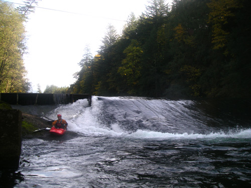
This is an excellent roadside river with sections from Class II (think inner tubes) to Class V+ (the narrows, gnarly). Access is similar to the Merced, a minor highway runs right along the river, providing many access points. We ended up doing the “profile rock and roll” section (Class III), the “rustic” run (Class III), “Grandpa’s gorge” (Class III+), “upper Mishawaka” (Class IV) and “lower Mishawaka” (Class III). All were very fun and scenic. We did most sections several times as they are relatively short. My favorite was the Upper Mishawaka. River level was between 3.5 and 4 feet on the Pineview Falls gage. We did not do the “Poudre Park” section (Class IV+) with Pineview Falls.

North Platte (Northgate Canyon)

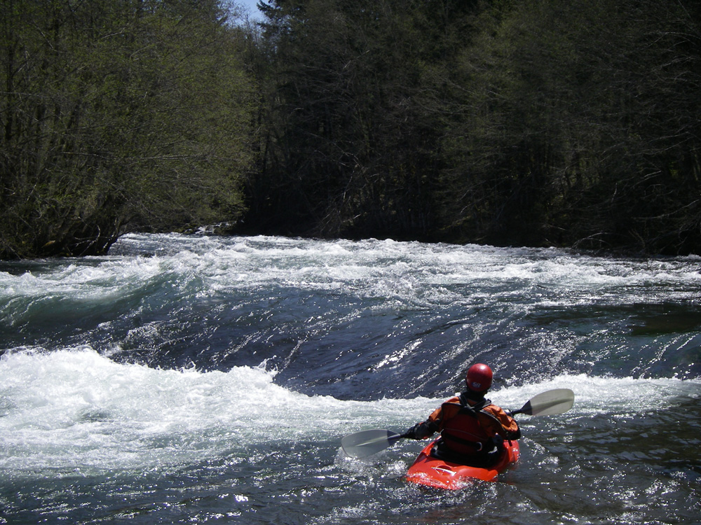
Up and over the pass from the Poudre, straddling the Colorado/Wyoming border is the Northgate Canyon run (Class III). With the exception of one rapid, this run is mostly Class II. It is a very pretty canyon with excellent fishing. We did about 8 miles, but you could do 30+ miles and fish the whole way. Local anglers reported that they often catch 200 fish a day in there (catch and release, mostly). We saw bighorn sheep on a hike down river before the run. The takeout for the one-day run at Six Mile Gap campground is about ¼ mile up a steep, but good path. Think the revamped Tuolumne take-out, but at least twice as long… Flow was around 1500 cfs.

Eagle River near Minturn

On our way to the Arkansas, we stopped in and ran the “Dowd Chute” and “upper eagle” sections at somewhere around 1400 cfs. Dowd’s is a pretty straitforward mile long set of waves that was called Class IV. Definitely not a place to swim. Think of a shallow “meatgrinder” with sharp rock debris and very fast current… The upper Eagle is a fast, continuous Class II+ and III section that rolls past private houses, condos, and golf courses. Pretty mountain scenery if you can see past the development. The shuttle was interesting as we took public transit from the take-out to the put-in to get the truck. Excellent!

Arkansas River (the big reason for going on the trip)

The Arkansas is perhaps the most heavily used whitewater river in the country, but everyone goes on a couple of sections, leaving the rest of the river to people who don’t like crowds. We ran “Numbers” (Class IV), “Fractions/Frog Rock” (Class III-III+), played in the whitewater park at Buena Vista, and ran “Browns Canyon” (Class III) and the “Royal Gorge” (Class III). The combination of Numbers/Fractions/Frog Rock is a great one-day run down to the town of Buena Vista, with time to play on the surf wave in the whitewater park. There is a fair amount of use on the Numbers section, but can be avoided with proper timing. Almost no one on Fractions/Frog Rock. Numbers is a very fun section that reminded me of the Chamberlain Falls run on the NF American. Lots of Class IV, but easy to read and run (unlike Bogus Thunder). Fractions is full of fun surf waves and the whitewater park has a great wave, at least at the flows we saw, around 1200-1400 cfs. Browns Canyon is reputed to be the busiest whitewater section in the country. It was definitely crowded while we were there. Great scenery, so-so whitewater, not as exciting as the SF American at the 1400-1700 cfs we had. And they continue to run it down to 500 cfs… I can’t imagine how boring it might be at that level. There might be a lot of rocks to get stuck on at that level though. The Royal Gorge is a beautiful section of the Arkansas with a deep gorge, good rapids (watch out for the BIG holes), and great scenery. Alas, all this is somewhat spoiled by the presence of the train and railroad debris along the river, the helicopters buzzing up the canyon, and the multitude of commercial rafts with no clue about boat control. The commercial guides were extremely rude too. After nothing but “forward paddle” into a cluster f*&! of other commercial and our private group, one guide had the nerve to yell at me “look behind you, why don’t you” after I pulled into an eddy to escape the mess. Needless to say, I told the dumb*!& to look in front of him. I’m ready to go back and run the numbers, but can skip Browns Canyon and the Royal Gorge!

Taylor River near Almont

The upper Taylor was a fun little Class III with a surprising amount of commercial traffic. Dam controlled and we had around 800 cfs making the run relatively continuous but fairly easy rapids. Bicycle shuttle as it was only about 5 miles. This is a pretty little canyon to run on your way through to the Gunnison. Supposed to be great fishing!

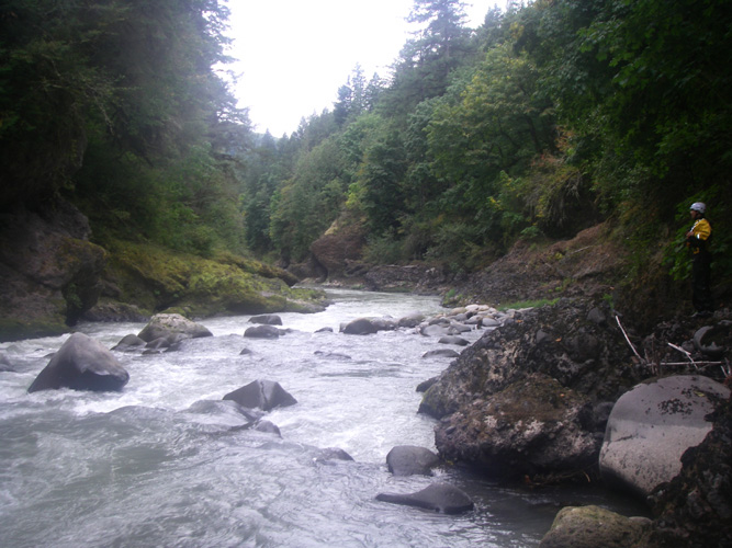
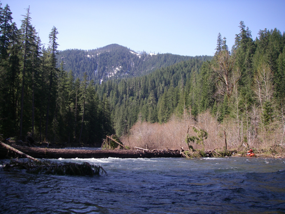
Gunnison River (Gunny Gorge)

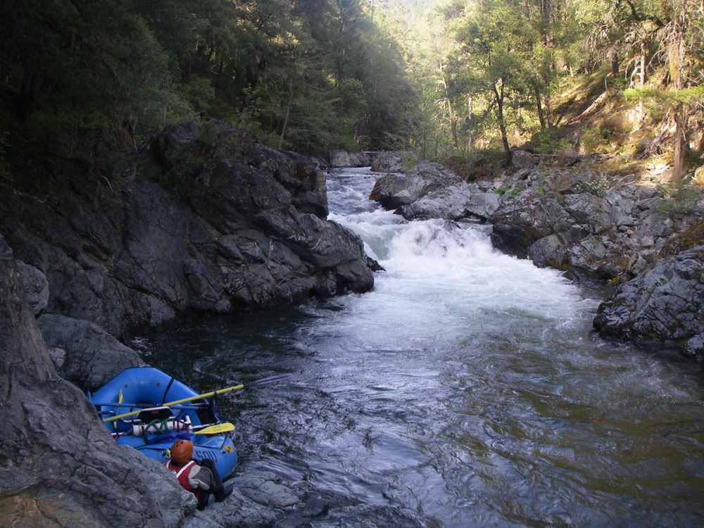
Starts just below the famed “Black Canyon” of the Gunnison where you have to be both an accomplished Class V+ boater and rock climber to make it through, the Gunny Gorge is a more mellow (Class III) run through a very pretty canyon. The rapids were surprisingly easy, leading us to rate other later runs/rapids a bit differently. We would ask ourselves if that was a Class II or a Gunny Class III… Access to the canyon is down the Chukar Trail, about a mile. We had the local horse packer haul our gear down and carried our frames (they don’t break down) into the canyon ourselves. GO LIGHT. Three days later we were out at the Pleasure Park who shuttled our vehicle. Another river noted for it’s fishing. I think we had about 1100 cfs for our trip.
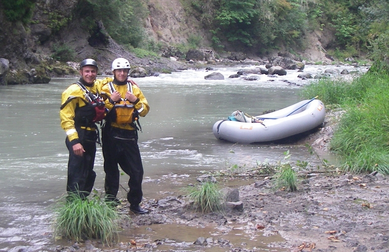
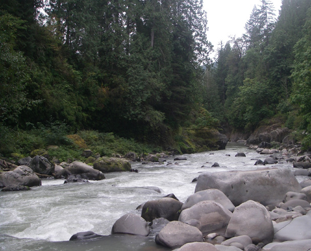
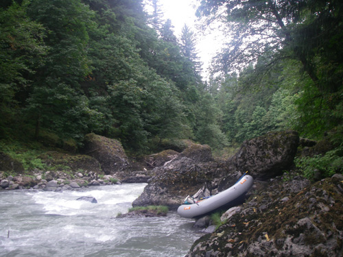
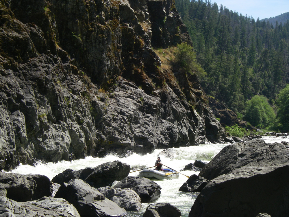
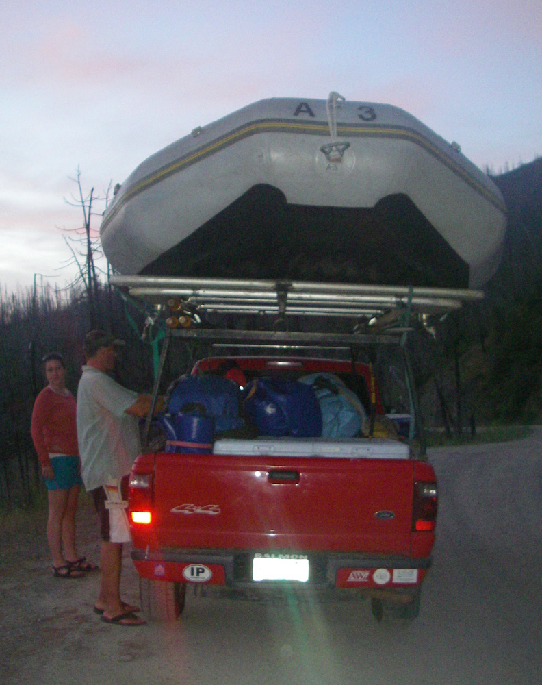
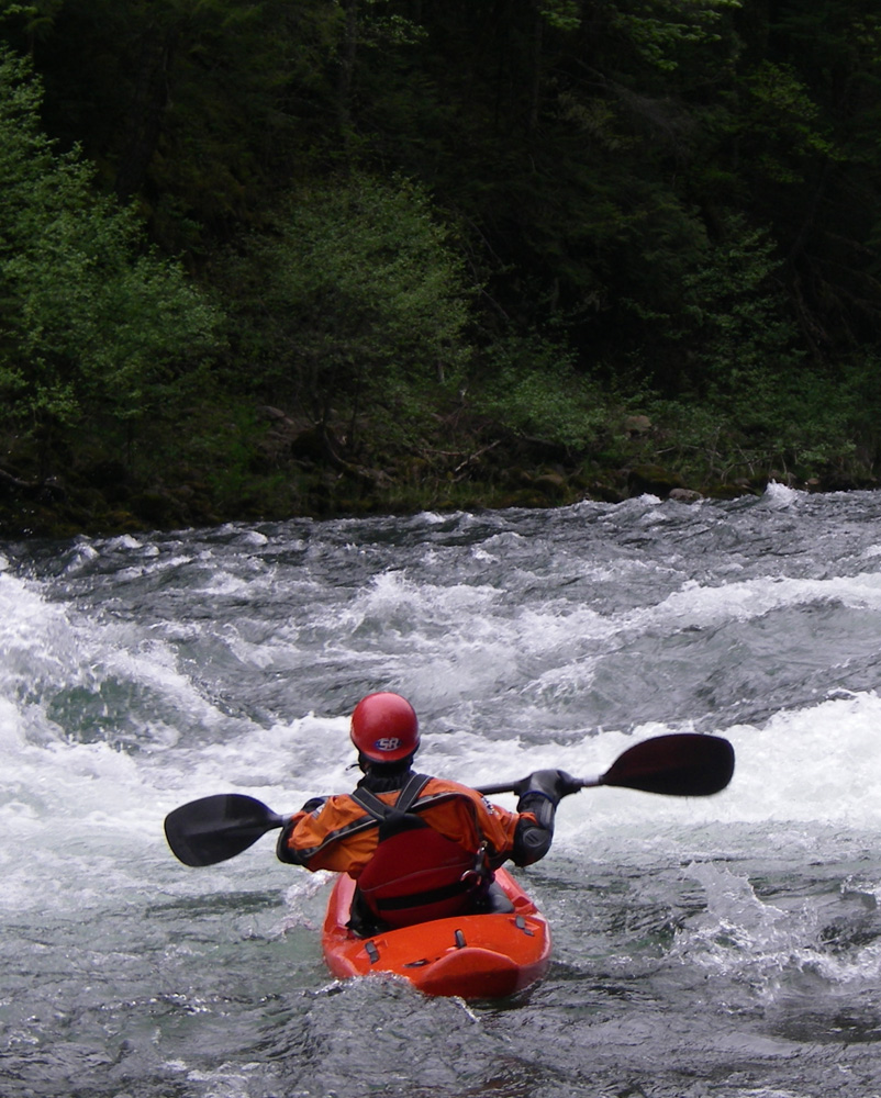
Selway River, Idaho

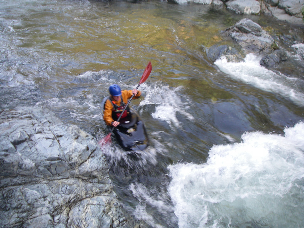
Just when we thought our trip was winding down, Gary Rollinson had a great idea to run the Selway River in Idaho after the permit season ended. As we have a friend that lives near there, we headed that way and ended up doing 5 days on the Selway (minus Gary) at low water (1 foot on the gage). Hey, at least it was more than the last time (0.8 feet). This is a premier run that at low water is mostly a very rocky, technical Class II-III run. There is at least one Class IV at this level though, so not for beginners. We definitely will be looking at water levels next July to see if an early August trip will be possible. At the low water level, you definitely want to GO LIGHT. Think like a backpacker.

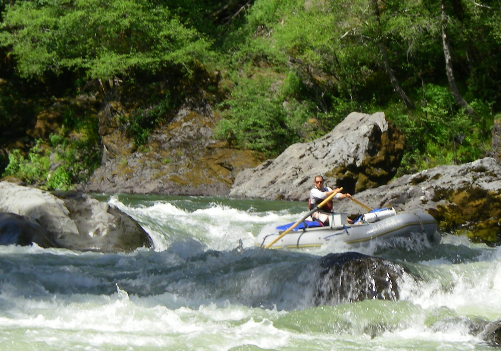
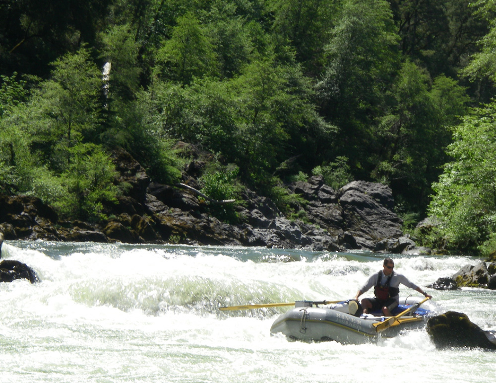
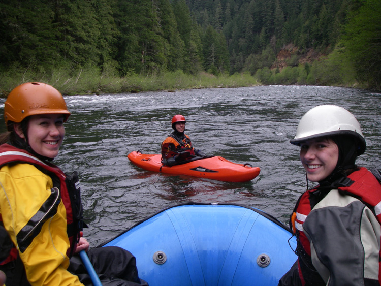
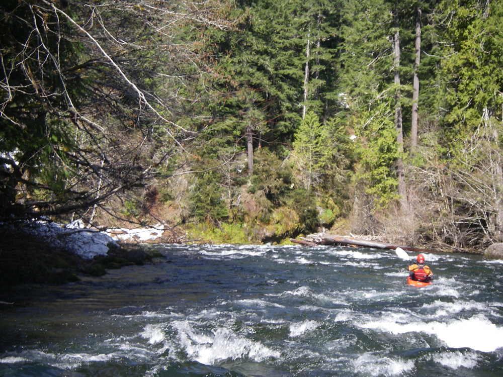
South Fork of the Payette, Idaho

Heading back from the Selway, we decided to travel along the Payette River to see if we could get any more river time. The NF Payette was running strong so we scrounged a promise of a ride for the Cabarton run (Class III). As we are waiting at the put-in, who shows up but Gary and friend! Excellent timing. So we ran that day with them and then camped with them along the SF Payette. The next day, we helped each other with shuttle so they could run swirly canyon and we could run the “staircase” section of the SF Payette and then the Main Payette.

Summary

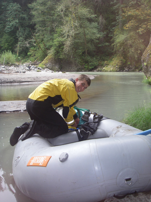
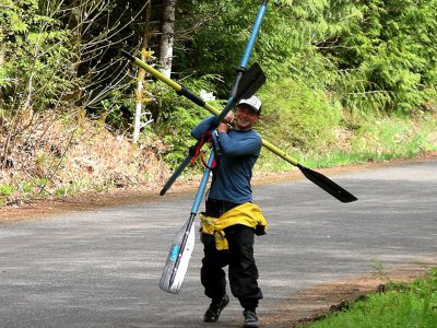
As you can see, we did a lot of rivers and runs. Part of what made the river part of the trip successful was having lightweight boats and gear that we could handle solo, being ready to go in minutes, and meeting some really neat people that let us tag along and more importantly provided shuttle. We run lightweight cat-a-rafts and our boats weigh less than 100 pounds (boat, frame, oars combined) so we can carry them to or from the river easily. We would love to do it again, run some of the same rivers and explore some new ones. If anyone is interested in next summer, who knows what could happen! Next time we will bring the fishing gear and learn how to fish.

Neil

Illinois River – 10:00 PM May 17 – 2:30 PM May 18, 2008

illinois_gauge

This last Saturday was the BLM sponsored “Rogue River Clean-up” from Hog Creek to Grave Creek. RRJ took a group of 26 students and parents from the Jacoby Creek Middle School to help pick-up trash. With flows just under 6,000 CFS, most of the trash was probably floating on downstream, however we still managed to pick up a lot of junk.

After the river clean up and lunch, Chip, Dana, and I headed back to Selma, cleaned up after the trip, and then drove down to Miami Bar on the Illinois. We left Selma around 8:15 PM on Saturday night and arrived at Miami Bar around 9:15. With a near-full moon over our heads, we pushed off at 10:00 PM and floated a quick mile to camp.

Due to the trip being somewhat spur-of-the-moment and mainly because we had no desire to spend time packing, here is what we had with us:

-6 bagels
-1 jar of jelly from Rose
-1 pound of beef jerky
-Some really good smoked tuna
-3 apples
-A few cliff bars
-12 PBRs
-12 MGDs
-12 Budweisers
-6 Black Butte Porters

Clearly we have priorities.

We fell asleep under the stars and woke up to a beautifully clear morning. We got up and tried to find something to do like breakdown the kitchen but soon realized that we didn’t have a kitchen. I went to breakdown the groover and then realized that we didn’t have a groover. Next up was the fire pan but, alas, we did not have one of those either. So, we threw our sleeping bags in the boats and pushed off at 7:00 AM sharp. By 8:30 AM we were at Pine Flat. We passed Klondike at 8:50. Soon after we caught up with a group and decided to pull over and eat some brunch.

After filling ourselves with bagels and smoked tuna, we continued downstream and reached South Bend at 10:35 AM. As we floated around the corner at South Bend, the Illinois River Circus pulled out in front of us and stared blankly downstream. They weren’t moving at the same pace so we waited to see if they would pull over before Prelude. Another group ahead of them seemed to be scouting Prelude from every angle possible and, from the looks of things, the Circus Act was about to begin. We pushed ahead (to a few grumbling voices, sorry about that) and headed down to Green Wall.

At Green Wall our plan was to run through without stopping to scout and just see what happens. We took two different routes and both worked out fairly well. I entered center and Chip entered far left. At the bottom we hung out for a brief second before pushing on down. As we floated through the narrows below the riffle after Green Wall we looked back upstream and saw what appeared to be an upside down blue boat heading our way. Apparently, the Show had started and carnage had begun! The boat eddied out on its own before the riffle but some of its contents didn’t. An oar came floating down with a few other miscellaneous items. We were able to collect the stuff and put it on a rock on the river bank where we hoped they could find it later.

With circus music playing in the background upstream, birds chirping along, the sun beaming a glorious 80-degree ray upon our heads, evidence of carnage floating by, and icy-cold beverages within arms reach, all I could think was “damn, I love this river.”

We made it to Oak Flat by 2:30 PM and back in Selma by 6:15 PM. A truly wonderful trip with the best company possible.

Here are some pictures:

clear_creek_big

green_wall_big

group_big

lower_canyon_big

proud_shipping

rig_big

Clackamas River – May 10, 2008

I called Ryan Morgan to see if he and Danielle would like to hit the water. Danielle has taken to enjoying the ride in the raft while Ryan kayaks. After meeting them in a small town near the Clackamas, we drove upstream to the Clackams River. I honestly have no idea where we put-in or took-out. We put-in above a powerhouse and ran rapids called “toilet bowl”, “hole in the wall”, etc. Fun stuff, especially spending the day with great friends: Ryan, Danielle, and Dana.

At some point we past Ryan’s car and he eddied out and told us to go further downstream to a ramp. So, maybe a mile or two later, we pulled over and he was there waiting for us. A great day on the water.

Here are some photos from this trip:

clackamas_squad_big

danielle_morgan_big

rayn

ryan_morgan_big

will

North Santiam – May 9, 2008

With low flows and no crew, Ryan thougtht the North Santiam would be a cool run to check out. He hadn’t been out there in a few years and I had yet to see it, so given our options it seemed like a good bet. The run was very continous class II with the occasional III thrown into the mix. According to some guide books, there is a class IV rapid in there but, at the very most and at our flows, this rapid may have scraped by as III+.

The water was freezing and the snow on the river banks (at only about 2300 feet!) confirmed the chilly temperature of the small canyon. Wood was a minor issue with one “must” portage and a few other snags here and there but avoidable. The mandatory portage was a huge tree that stretched all the way across the river. It was massive. There’s a picture of it below. Very obvious and easy to pull over to portage.

Throughout the run there were a lot of fun play waves. Ryan was in his playboat and I was in an empty 12′ Otter with just a rodeo frame so we took advantage of the fun nature of the run. Some good surfs, particularly near the take-out.

The entire length of the run was approximately 10 miles and we covered it in two hours. Enjoy the pictures:

north_santiam_big

north_santiam_log_big

play_spt_n_santiam_big

Illinois River – May 2-4, 2008

gauge

More sunny days on the Illinois! In what continues to be a great Illinois year, the weather, water, and people all came together for another great trip.

The first night we stayed at Pine Flat after launching from Miami Bar at a leisurely pace (3:30 pm). With so much daylight, we made it to Pine Flat with plenty of time to spare. The next day we floated below the waterfall camp and stayed on river left about 1.5 miles further downstream. A great camp with lots of firewood.

At the flows we saw, the hole at the bottom of Green Wall was practically nothing compared to what it has become at slightly higher flows. It was easily avoided to the right, which was a good thing because the left side would have required scraping over some nasty rocks that became exposed. Slightly higher water and the hole closes this line off and makes a left side run ideal.

Carberry Creek – Spring 2008

I’d talked to Dan Thurber about the possibility of taking a raft down Carberry Creek and he seemed to think that it would be OK. So, when the flow was up, he grabbed a boat, oars, and frame for me and I met him in Jacksonville. I’d come from Selma after a day of mowing Rogue River Journeys enormous lawn and was excited at the shot of tacking on an afternoon run. Shaggy from Sawyer Oars was also with us in his kayak, as was another Ashlandite, Andrew.

From a rowing perspective, Carberry Creek was a lot like the Upper Wind in Southern Washington, but with smaller holes and a lesser flow. I imagine it might be like the Upper Wind at very low water. It was mainly Class II and III with a few IVish moves thrown in. The most significant drop was a five or six-foot ledge with a small hole at the bottom. Another drop had a twisting entry and ended with a medium sized hole that actually sucked one of my tubes and led to a worrisome half-ass highside before the boat pushed through.

Dan’s guidance was incredibly helpful. The only scout was at the twisty-entrance rapid so I relied on his verbal beta prior to each rapid. Once again, have got to thank the wonderful kayakers of the Ashland area for letting me see a new river. I’m incredibly thankful for the amount of help and wisdom many of these folks have… and for their willingness in letting a hypalon-guy hang out with them.

At the take-out we shared a six-pack, packed up, and headed home. A short run; but one that I will never forget.

carberry_falls_big

carberry_thurber_big

carberry_truck_big